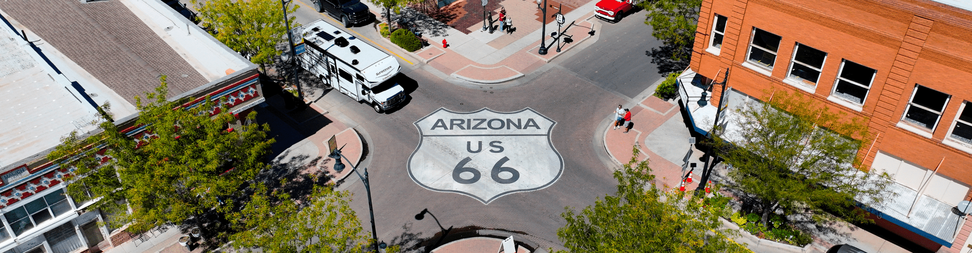
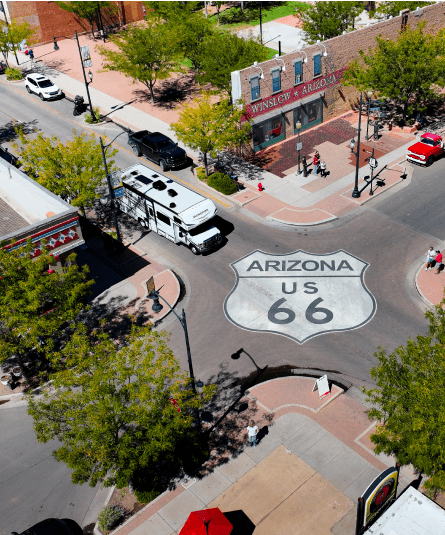
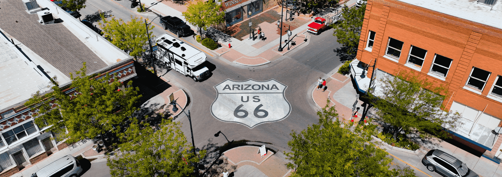
Seligman represents the spiritual heart of Route 66 preservation. When I-40 bypassed the town in 1978, local barber Angel Delgadillo fought back by founding the Historic Route 66 Association. His efforts sparked a preservation movement that saved the Mother Road. Today, Seligman thrives on Route 66 tourism, with Angel's original barbershop (now the Route 66 Gift Shop) still welcoming visitors. The town inspired the fictional Radiator Springs in Pixar's "Cars," and the resemblance is unmistakable.
The road continues through high desert, passing through Peach Springs (capital of the Hualapai Nation) before reaching one of Route 66's most adventurous sections. The road to Oatman takes travelers on a winding mountain route with hairpin turns, steep grades, and spectacular views. This historic mining town clings to the Black Mountains, where wild burros (descendants of miners' pack animals) roam freely through the streets. The burros are friendly, accustomed to tourists, and happy to accept treats (carrots available at local stores).
Oatman's main street looks like a movie set, lined with Old West-style buildings, saloons, and gift shops. On weekends, staged gunfights add to the atmosphere. The town fully embraces its wild west heritage, and it's easy to imagine what boom-town life was like when gold was discovered here in 1902.
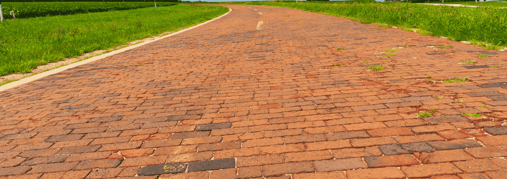
After Oatman, the road drops dramatically into the Mojave Desert. This is where Route 66 travelers truly understand the challenges pioneers faced crossing the American Southwest. The Mojave is harsh, beautiful, and unforgiving: a landscape of Joshua trees, creosote bushes, and mountains that shimmer in the heat.
Needles, California, marks the entry into the Golden State. The town sits on the Colorado River, which forms the California-Arizona border. Named for the needle-like mountain peaks nearby, Needles gets brutally hot in summer, regularly exceeding 115°F, but offers welcome relief for travelers with the river providing recreation.
The final stretch crosses the Mojave Desert via I-40 and I-15, then follows historic Route 66 alignments through the Cajon Pass: a dramatic descent from high desert into the Los Angeles Basin. As the temperature rises and humidity increases, the urban sprawl of Southern California suddenly appears.
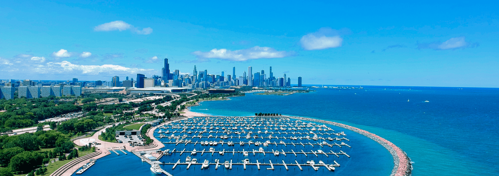
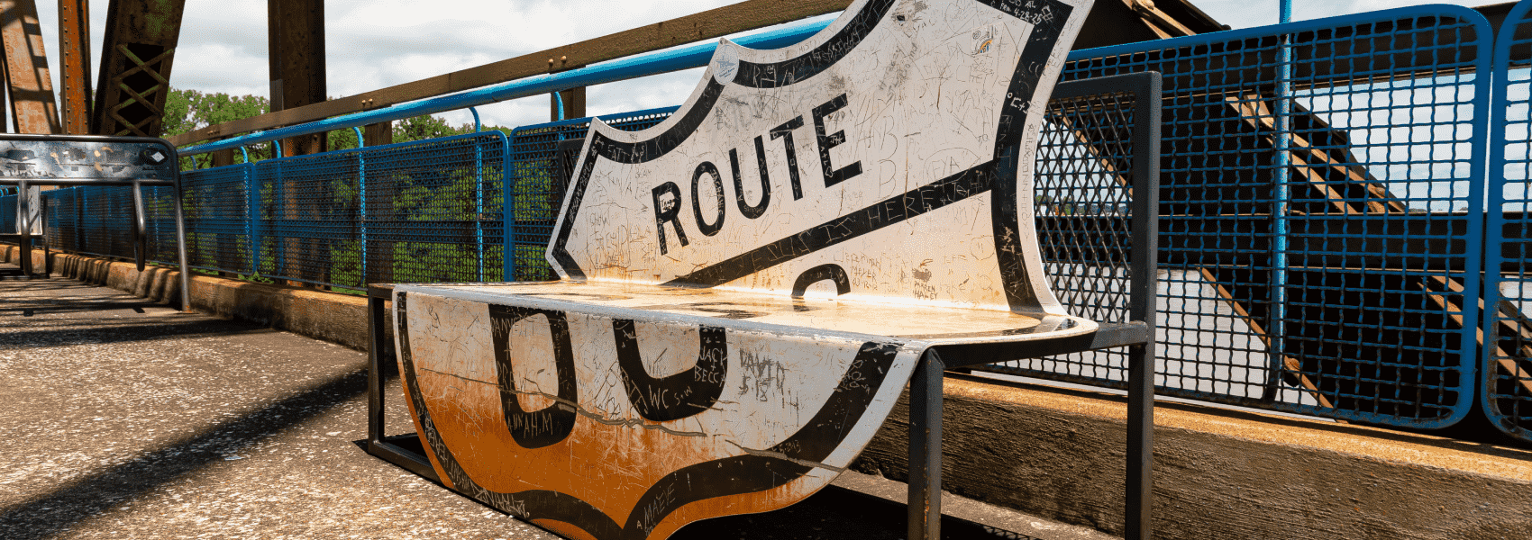
Santa Monica and the Pacific Ocean represent the journey's end. The Santa Monica Pier extends into the ocean, featuring an amusement park, aquarium, and restaurants. At the western end of the pier, the official "End of the Trail" Route 66 sign marks the culmination of 2,448 miles. Watching the sun set over the Pacific, with the pier's neon lights flickering to life, provides a powerful conclusion to one of America's most incredible road trips.
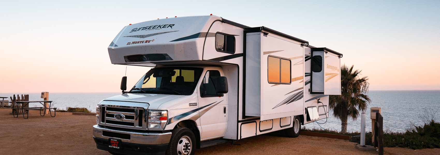
The pier area can get crowded, especially on weekends, so patience helps when maneuvering an RV through Santa Monica traffic. For those returning their rental to El Monte RV, the Los Angeles location provides a convenient drop-off.
Day 7 Summary
Places to Visit:
Places to Eat:
- Delgadillo's Snow Cap Drive-In (Seligman, AZ) - quirky Route 66 burger joint
- OatmanHotel (Oatman, AZ)
- Santa Monica Pier restaurants (Santa Monica, CA)
RV Return: